indian himalaya 1 350 000
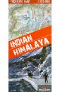
Indian. Himalaya. 1:350 000
A unique map of the Indian Himalaya mountains (scale 1:750 000), detailed maps (scale 1:350 000) of 22 trekking itineraries in 10 regions of north-east India (Kashmir, Ladakh, Zanskar, Lahaul, Rupshu, Spiti, Kinnaur, Garhwal, Kumon and Sikkim), tourist and topographical information and other practical information.
1435 Руб.
Mazurkiewicz Andrzej, Mazurkiewicz Katarzyna Индия. Гималаи. Карта гор. Indian. Himalaya
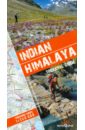
Trekking routes This guidebook is unique in presenting detailed descriptions of 22 trekking itineraries in the Indian Himalaya. The routes have been especially devised to pass through the most scenic and culturally interesting regions of northern India. The information on the distance and time needed to cover particular route sections makes it easy for experienced trekkers and trekking novices alike to plan their trip in great detail. Maps and height profiles Each trek description includes a 1:350 000-scale map (with the route marked on it) and a height profile diagram that reflects landform features. This is what makes the guidebook unique and - even more importantly - invaluably useful when trekking the Himalaya mountains. Practical information The guidebook offers all kinds of indispensable tips: from food and drink, through recommended equipment, to transportation. You will find it priceless to learn which time of the year to choose for your expedition, and what to look out for to make it safe. Exceptional part of the Himalaya The Indian Himalaya are less frequented than Nepal, another famous expanse of the highest mountains in the world. It is a truly extraordinary place, untouched by Western civilization. The region's allure is its amazing wildlife, as well as the inimitable culture and traditions of its native people.
1228 Руб.
Andalusia 1:350 000
This map appears in the map series world mapping project in travel expertise. Characteristic is the high-quality, clear and modern cartographic representation. Contour lines with elevation Coloured elevation levels Classified road network with distances Places of interest Detailed local index GPS capability by longitude and latitude UTM grid
937 Руб.
Irland 1: 350 000
(Card can be removed and used without envelope) Polyart (tear and waterproof, writable), cardboard envelope: material Size: 26x11,5 This map appears in the map series world mapping project ™ in travel expertise. Characteristic is the high-quality, clear and modern cartographic representation. - Contour lines with elevation - Coloured elevation levels - Classified road network with distances - Places of interest - Detailed local index - Legend in four languages (Ger., Engl, French Polynesia, Span).
937 Руб.
Irland. 1:350 000
High quality road maps with place name index. In many countries these are simply the best maps available. Scales vary according to the size of the country. Index is in several languages.
705 Руб.
Portugal 1:350 000
This map appears in the map series world mapping project in travel expertise. Characteristic is the high-quality, clear and modern cartographic representation. Contour lines with elevation Coloured elevation levels Classified road network with distances Places of interest Detailed local index GPS capability by longitude and latitude UTM grid
583 Руб.
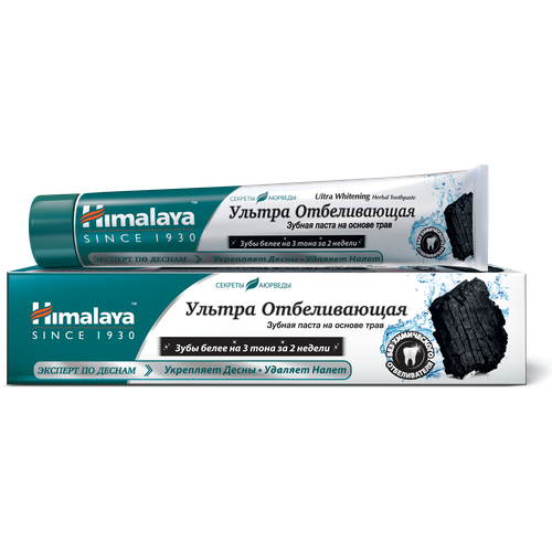
Himalaya Since 1930 Ультра Отбеливающая зубная паста на основе трав 75 мл (NEW)
Himalaya Since 1930 – косметика индийского происхождения. В основе лежит учение аюрведы – индийской науки о здоровье и долголетии, насчитывающей более 5 000 лет. Деятельность Himalaya основана на богатейших традициях изучения природы и свойств растений. Для создания высококачественных лекарственных и косметических средств используются современные научные методы. Himalaya происходит от названия гор Гималаи - они символизируют чистоту, высокие идеалы и стремление человека познать тайны природы.
258 Руб.
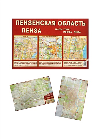
Пензенская область. Пенза (1:350 тыс / 1:17 тыс) Карта (раскладная) (Лоцман)
Пензенская область. Пенза (масштаб 1:350 000 / 1:17 000) Карта раскладная.
86 Руб.
Пензенская область. Пенза (1:350 тыс / 1:17 тыс) Карта (раскладная) (Лоцман)
Пензенская область. Пенза (масштаб 1:350 000 / 1:17 000) Карта раскладная.
86 Руб.
Spanien, Nord. 1: 350 000
This map appears in the map series world mapping project in travel expertise. Characteristic is the high-quality, clear and modern cartographic representation. Contour lines with elevation Coloured elevation levels Classified road network with distances Places of interest Detailed local index GPS capability by longitude and latitude UTM grid
937 Руб.
Карманный атлас: Москва. Подмосковье
Атлас содержит план Москвы в масштабе 1:30 000 - 1:85 000, карту Подмосковья в масштабе 1:350 000, схемы организации движения, гостиницы, рынки, ярмарки, схему линий метрополитена.
77 Руб.
Карманный атлас. Москва. Подмосковье
Вашему вниманию предлагается карманный атлас города Москва и Подмосковья. В атласе: План города (масштаб 1 : 30 000 - 1 : 85 000); План центра города (масштаб 1 : 15 000); Схемы организации движения автотранспорта на третьем транспортном кольце; Карта Подмосковья (масштаб 1 : 350 000).
202 Руб.

Himalaya Herbals Крем для лица и тела Интенсивно увлажняющий с витамином Е, 50 мл
HIMALAYA – косметика индийского происхождения. В основе лежит учение аюрведы – индийской науки о здоровье и долголетии, насчитывающей более 5 000 лет. Деятельность Himalaya основана на богатейших традициях изучения природы и свойств растений. Для создания высококачественных лекарственных и косметических средств используются современные научные методы. Himalaya происходит от названия гор Гималаи - они символизируют чистоту, высокие идеалы и стремление человека познать тайны природы.Интенсивно увлажняющий крем Himalaya Since 1930Ростки пшеницы – источник натурального витамина Е – смягчают и питают кожу, защищают от агрессивного воздействия внешних факторов.Сладкий миндаль хорошо увлажняет кожу и устраняет ее сухость.
182 Руб.
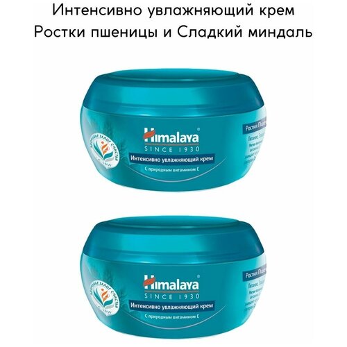
Himalaya Since 1930 Крем для лица интенсивно увлажняющий Ростки пшеницы и Сладкий миндаль с витамином Е, 50 мл, 2 шт.
HIMALAYA – косметика индийского происхождения. В основе лежит учение аюрведы – индийской науки о здоровье и долголетии, насчитывающей более 5 000 лет. Деятельность Himalaya основана на богатейших традициях изучения природы и свойств растений. Для создания высококачественных лекарственных и косметических средств используются современные научные методы. Himalaya происходит от названия гор Гималаи - они символизируют чистоту, высокие идеалы и стремление человека познать тайны природы.Интенсивно увлажняющий крем Himalaya Since 1930Ростки пшеницы – источник натурального витамина Е – смягчают и питают кожу, защищают от агрессивного воздействия внешних факторов.Сладкий миндаль хорошо увлажняет кожу и устраняет ее сухость.
721 Руб.
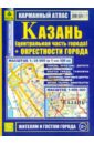
Карманный атлас. Казань и окрестности города
Карманный атлас поможет путешественнику быстро и легко сориентироваться в городе Казани и его окрестностях. Масштабы карт: 1:35 000 (в 1 см 350 м) 1: 500 000
227 Руб.
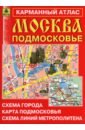
Москва. Подмосковье. Карманный атлас
Компактный полноцветный атлас. Содержит план Москвы (1:30 000 - 1:85 000), план центральной части города (М 1:15 000), карту Подмосковья (М 1:350 000), схемы организации движения автотранспорта на третьем транспортном кольце, указатель улиц Москвы, схема линий метрополитена, московское центральное кольцо (МЦК), гостиницы и ТРЦ.
195 Руб.